
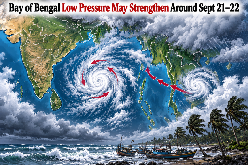

A Bay of Bengal low pressure system is expected to develop over the Andaman Sea and nearby areas around September 19, after a cyclonic circulation currently over North Thailand moves toward the region. The system could gradually intensify over the following days.
According to the India Meteorological Department (IMD), the upper-air cyclonic circulation over North Thailand was expected to emerge over the North Andaman Sea around September 18. Under its influence, a low-pressure area is likely to form around September 19.
Bay of Bengal low pressure may intensify further
The developing system is expected to move west-northwestwards toward the South Odisha and North Andhra Pradesh coasts during the next three to four days after formation, according to the IMD coastal weather bulletin.
The weather system may become more organised as it moves over the Bay of Bengal. Based on the information currently available, there is a possibility that it could intensify into a depression around September 21 or 22.
However, the exact strength and movement of the system will depend on how it develops after forming over the sea. Forecast details can change as new observations become available.
Odisha and coastal areas to watch the system
The developing system is particularly relevant for the Odisha and North Andhra Pradesh coasts because the IMD has indicated a west-northwestward movement toward this region.
The IMD’s coastal bulletin issued on September 17 reported rain and thunderstorms at a few places along both the North Odisha and South Odisha coasts. At that time, sea conditions were reported as slight, with no storm surge or tidal warning.
As the system develops, rainfall patterns over parts of eastern India could change. People in coastal areas should follow official weather updates, particularly if the system strengthens further.
No confirmation of a cyclone yet
The current forecast concerns the development of a low-pressure area and its possible intensification. It should not automatically be described as a cyclone.
The IMD has indicated that the system is likely to intensify gradually after formation, but its eventual strength and track will become clearer with subsequent forecasts.
Weather information surrounding developing Bay of Bengal systems can change quickly, making official bulletins important for tracking rainfall, wind and sea conditions.
The Bay of Bengal low pressure system is therefore being closely watched as it develops over the coming days, particularly because its projected movement could bring changing weather conditions toward the South Odisha and North Andhra Pradesh coasts.